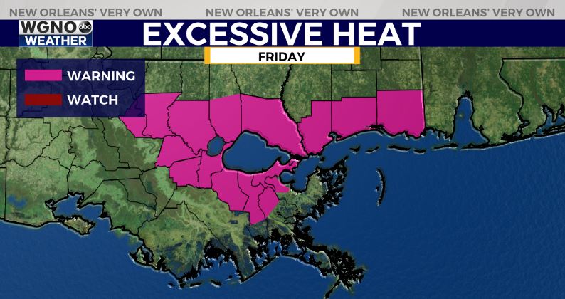
The heat wave that we have seen the past few days will reach it’s peak heading into the weekend. An excessive heat warning is in effect for parts of the area for the majority of Friday with the rest of the area under a heat advisory. The warning indicates areas where we could see heat index values of 112 and higher. This can be very dangerous. Please continue to stay hydrated over the next few days and try to avoid being out in the heat as much as possible.

This pattern will continue through most of the weekend. Afternoon temperatures will reach 98-101 across the area with the highest numbers inland.
By late Sunday into early next week we will still see daytime highs in the low to mid 90s but the ridge of high pressure will weaken enough to allow a bit better chance of afternoon storms. That should at least provide some relief during the afternoon time frame.


