NEW ORLEANS (WGNO) — A tornado watch is now in effect for the Florida parishes and southern MS counties until 2 AM. These are areas that have the highest chance of seeing severe weather tonight.
Strong to severe storms will be possible early Tuesday morning as the line moves through. It looks pretty conditional with most of the activity staying north in central Mississippi. This is one of those situations we see a lot where all the wind prevents us from getting the most unstable air.
The main threats in any severe storms that develop will be damaging wind gusts, hail, and isolated tornadoes. The Storm Prediction Center has placed most of Southeast Louisiana and South Mississippi under a Level 2 (out of 5) threat for severe weather.

There is a higher risk for tornadoes in central and southwestern Mississippi where there is a Level 3 threat. Be sure to have multiple ways to receive weather alerts overnight in the event watches and warnings are issued.
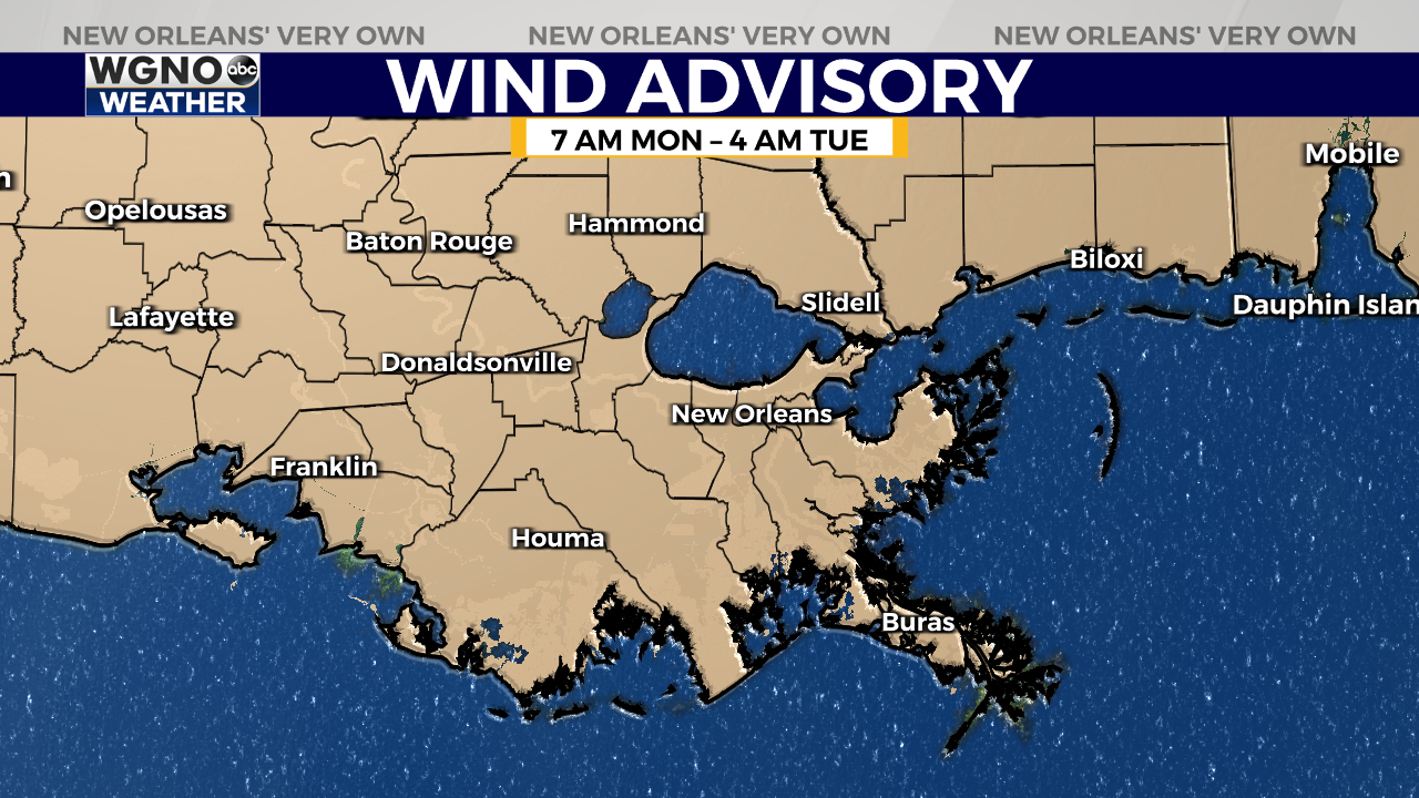
Before the storms arrive, winds of 20 to 30 mph are expected to continue with gusts up to 40 mph. A Wind Advisory is in effect until 4 a.m. Tuesday.

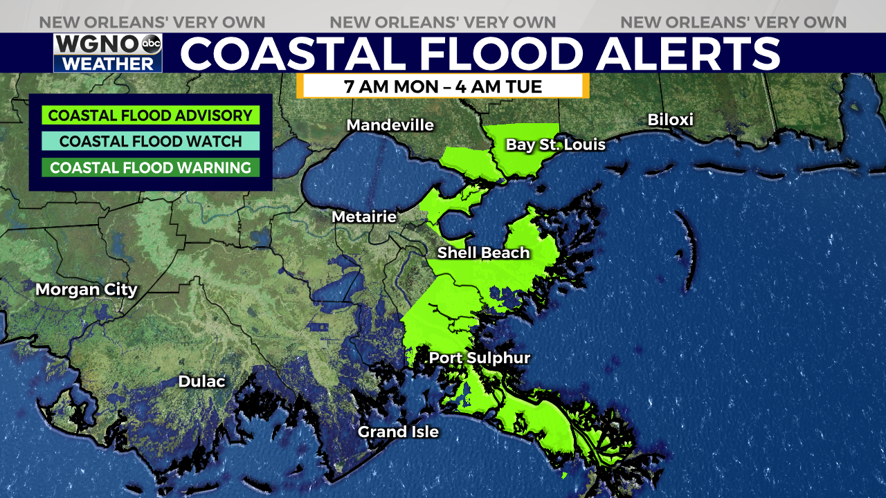
With the winds coming from the south and southeast, coastal flooding will be a concern, particularly for southeast-facing coastlines. Although we are in the neap tide portion of the tide cycle, which typically leads to lower water levels around high tide, inundation of 1 to 2 feet above ground will still be possible. A Coastal Flood Advisory is in effect until 4 a.m. Tuesday.

By late Tuesday morning, conditions are expected to improve and we are going to see beautiful spring weather the rest of the week.
Stay up to date with the latest news, weather and sports by downloading the WGNO app on the Apple or Google Play stores and by subscribing to the WGNO newsletter.


