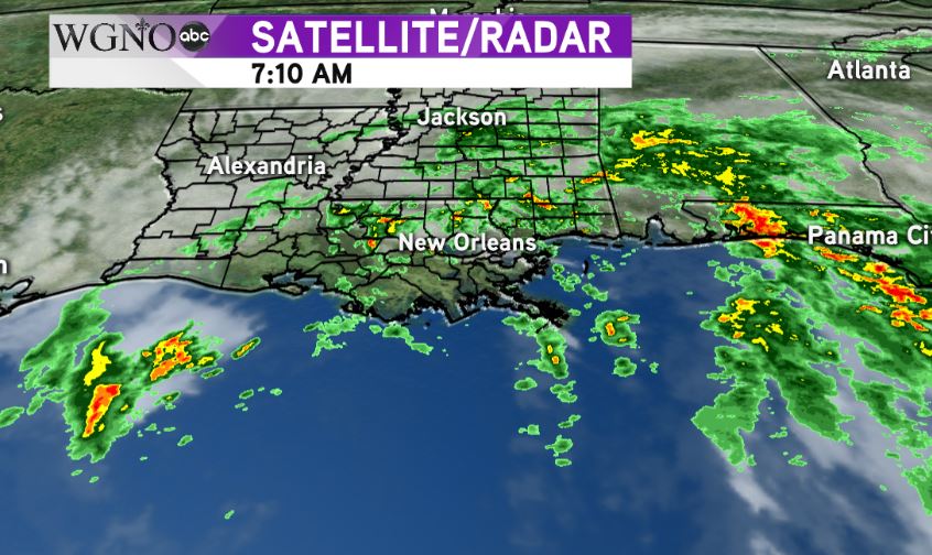
NEW ORLEANS — A tornado watch is currently in effect for most of the area until 10 AM Wednesday.
That will most likely be extended as we go through the day and even into Thursday potentially. The isolated tornado threat is going to be the biggest safety risk associated with Cindy through the day the way it’s shaping up right now.

Cindy remains large and relatively disorganized. Because of this, the heaviest rain continues to be well off to the east over the Florida panhandle. That should be the case through the day and will be where the greatest flash flood risk is.
For southeast Louisiana and southern Mississippi, we are going to see more scattered activity. There will be waves of tropical showers and storms that produce heavy downpours along with some bands setting up over the area, but it will not rain consistently all day.
However, the breaks in the rain could allow for more instability, which increases the tornado threat. This will also allow for more individual cells moving onshore, which could produce tornadoes.
Tropical tornadoes move very fast. They spin up quickly and are frequent near the coast. If you are in a warned area seek shelter quickly.
The area remains under a Tropical Storm Warning and Flash Flood Watch as well.

