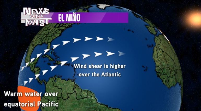
NEW ORLEANS (WGNO) – So far, this has been a very strong El Niño event and it’s only going to be getting stronger as the months go on. A brief refresher, El Niño is when we have warmer than average water over the pacific near the equator. What this does is to help increase the wind shear, especially over the Atlantic Ocean. This wind shear helps to inhibit hurricane development so we typically don’t see as many during an El Niño year.
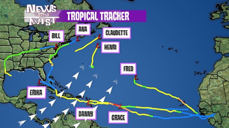
Now so far, we’re up to eight. Henri last week was the latest tropical system we’ve seen this year. But one of the things we’ve noticed is as these tropical systems move across this area of higher shear; they really do start to fizzle out. We had that happen with Grace. It couldn’t even make it to the Antilles. Danny fizzled out before even making it to Puerto Rico and even though Erika barely made it into the gulf, it was so disorganized from the shear that it couldn’t really get anything going once it made it there.
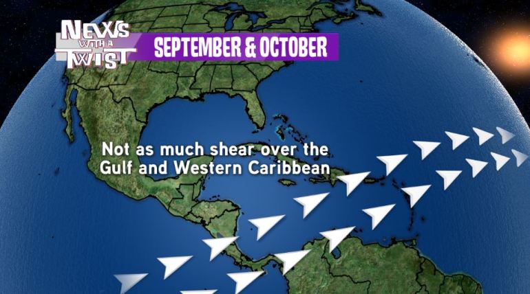
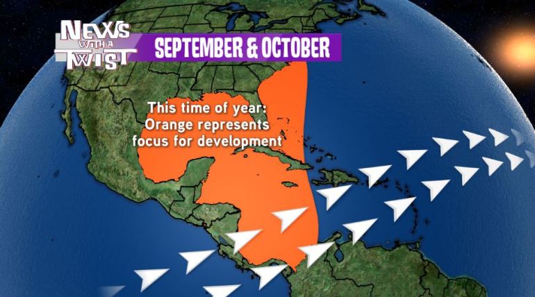
One thing to notice is there’s not as much shear over the Gulf and the Western Caribbean. So even though we’re seeing a lot of it out in the Atlantic, once you can move past that, not as much wind shear is present. This time of year however, we see the focus for tropical development in the Gulf, Western Caribbean and Atlantic Coastline, the areas where not as much shear is occurring. So if we can get anything to develop in this area, it won’t be affected by the shear as much and has a stronger potential for development than what we’ve seen so far this season. That’s why we’re going to have to continue to keep an eye on the tropics as we go through the next month and a half.


