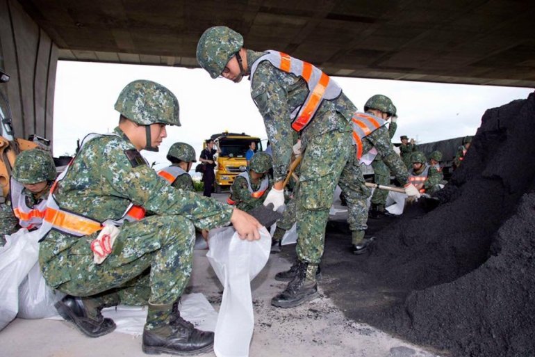
(Taitung, Taiwan) A slow moving monster of a storm, Super Typhoon Nepartak barrelled into southern Taiwan making landfall at approximately 5:55 US Central time with sustained winds of 150 mph, according to the Joint Typooon Warning Center. The storm could take up to 12 hours to pass over the region bringing devastating winds and up to a foot of rain. Around 12 million residents evacuated in anticipation of the storm. A foot of rain has already fallen with an additional foot possible.
Widespread flooding is expected, and Nepartak will be the largest super Typhoon in 6 years for Taiwan. It has equivalent strength of a Category 5 hurricane. On infrared Satellite imagery, Nepartak exhibited an impressive and large eye, and near perfect symmetry as it moved towards the island nation.
Experts say this super typhoon could be Taiwan’s strongest land falling storm in 45 years of recorded storms. Super Typhoon made landfall about 15 kilometers south of Taitung, Taiwan.


