10:00AM FORECAST — Scattered heavy downpours continue. Flash Flood Watch until 7PM. When will we dry out? Here’s the details:
A Wind Advisory & a Flash Flood Watch remain in effect until this evening.
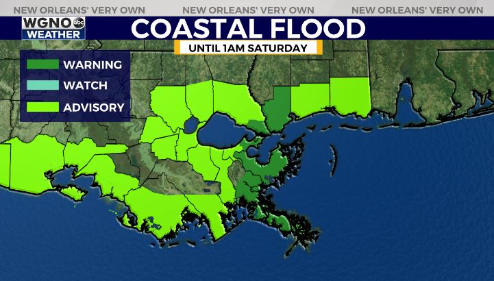
In addition, with continued onshore flow, Coastal Flood Advisories & Warnings remain in effect until early Saturday. Tides 1-2 feet above normal in the advisory area, 2-4 feet in warning zones.

Additional 1-2″ of rain expected with localized higher amounts, particularly across the Bayou/River Parishes.
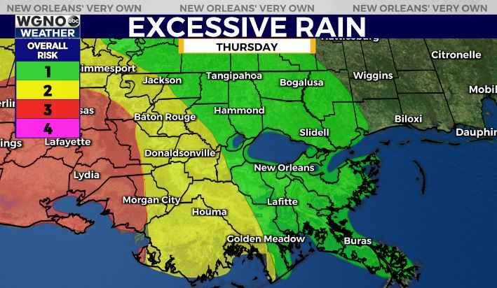
Notice the latest outlook from the Weather Prediction Center. Areas further west within a Level 2/3 out of 4, while only a Level 1 for the Northshore & Metro NOLA.
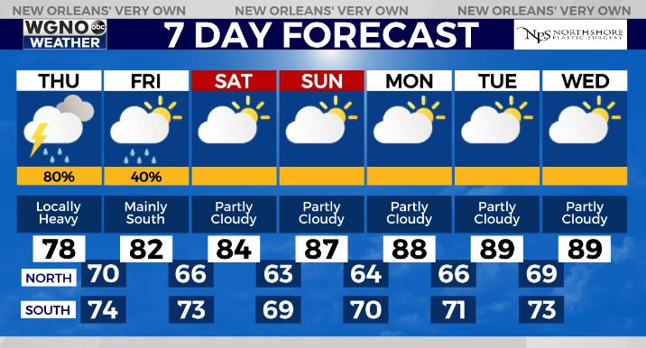
Finally, we see improving weather conditions into the weekend! As high pressure builds in, rain chances will decrease. With less rain, high temperatures will be warming up! Highs in the mid-upper 80s with a few spots nearing 90 into next week.


