11:30AM FORECAST from Meteorologist Scot Pilie — Warmer, unsettled weather pattern on the way. Cold snap late week?
After a cool start Monday, temperatures will climb into the upper 60s this afternoon with mostly cloudy skies. Spotty rain chances possible late this evening into the overnight.

Tuesday-Wednesday will be much warmer ahead of our next storm system. Spotty rain chance possible on Wednesday.
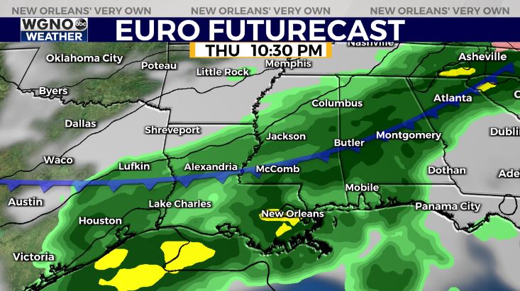
Higher rain chances expected Thursday-early Friday as our next cold front moves in. The question? How strong will the cold front be & when exactly will the coldest air arrive?
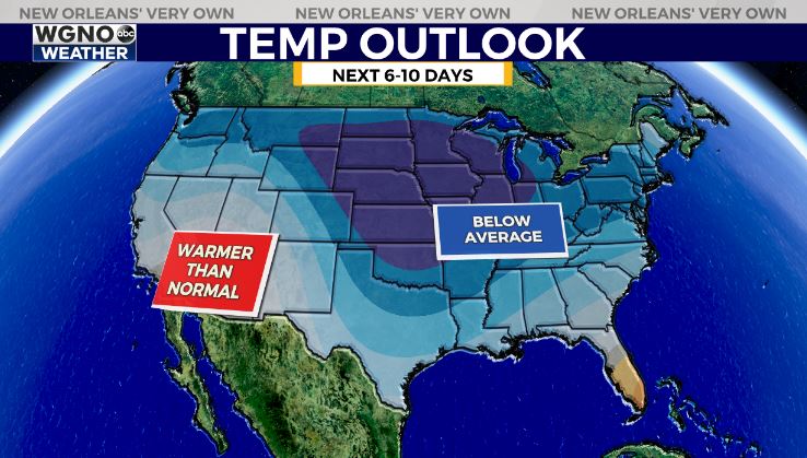
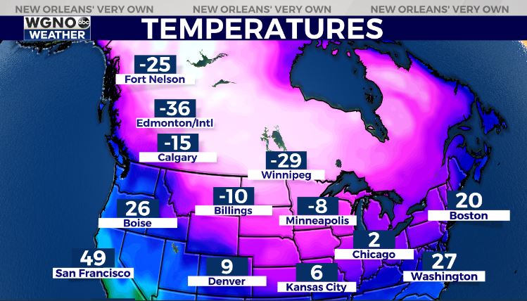
Frigid cold building into western Canada & the northern United States. The big question? Will this cold airmass advance southward late week & into early next week.
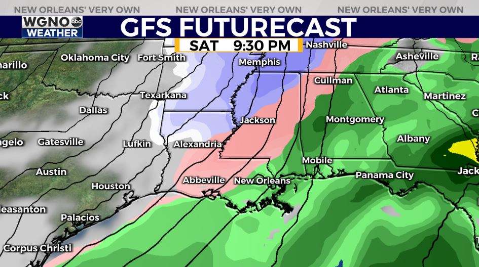
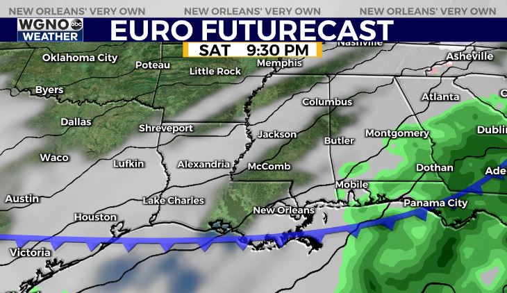
Check out the guidance below. The GFS(American Model) showcases a hard freeze & potential for sleet/freezing rain & even the “s word” ![]()
Forecast guidance continues to suggest well below average temperatures for Louisiana this weekend into early next week, but the duration & intensity of the cold snap remains in question. Certainly looks like gumbo warning criteria…![]()
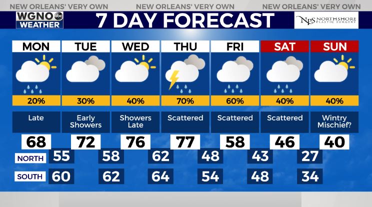
As far as wintry mischief, until the temperature forecast becomes more concrete, take any model guidance showing wintry precip with a BIG grain of salt. It’s certainly worth watching the pattern late weekend into next week as things become more clear. Stay tuned!