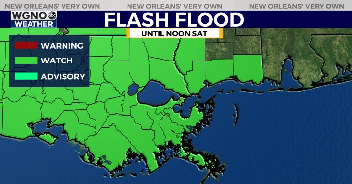
5:30AM VIDEO FORECAST — Flash Flood Watch extended until Noon Saturday. Intermittent rounds of heavy rain Friday-Saturday. Here’s the details:
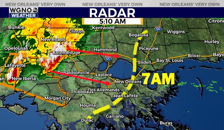
Heads up, NOLA Metro! Strong complex of storms likely near daybreak. Gusty winds, locally heavy rain, & frequent lightning. Watch for localized street flooding.
Sounding like a broken record, but the tune keeps playing. Another round of storms likely today across south Louisiana.
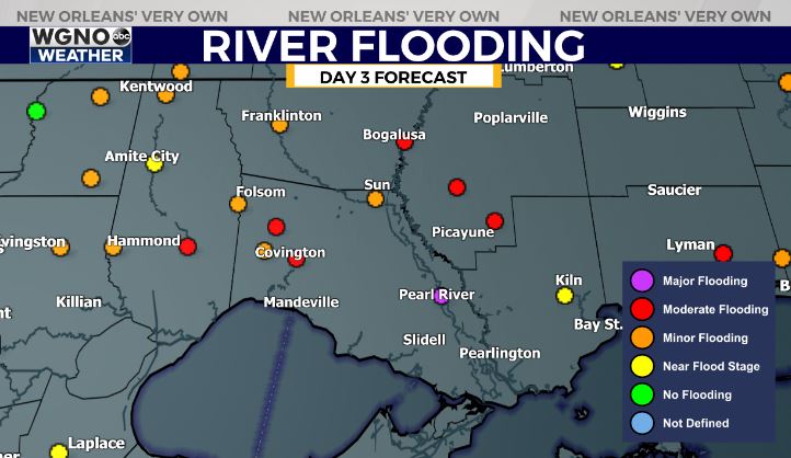
With soils extremely saturated, any additional heavy rain in a short period of time will lead to street flooding and additional river flooding.
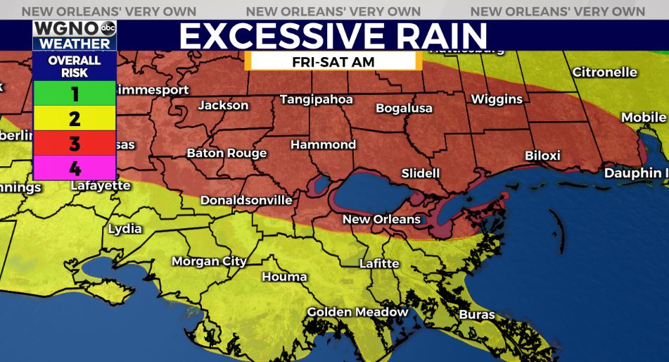
The Weather Prediction Center has outlined much of southeast Louisiana within a Moderate Risk(Level 3 out of 4) for excessive rainfall & flash flood potential. An additional 1-3″ of rain likely with localized higher amounts possible,
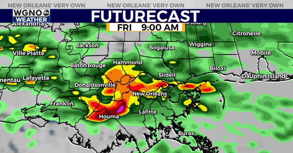
The first round of storms looks to arrive near daybreak across the region, with intermittent periods of scattered heavy downpours into Friday night.
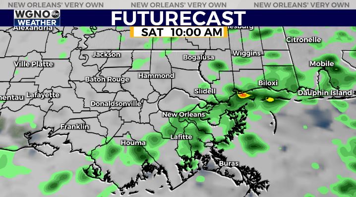
Saturday, spotty light showers through the day.
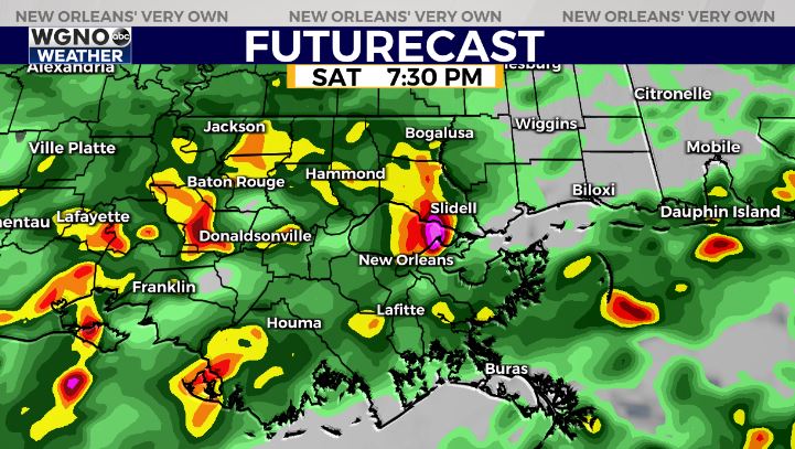
Into Saturday evening, localized heavy downpours possible into late Saturday evening.
The fantastic news? By Sunday mid-morning, DRY air starts to move in and sunshine looks to return!


