5:30AM VIDEO FORECAST from Meteoroligst Scot Pilie — Heavy rain & reports of flash flooding continue. Flash Flood Watch remains in effect for SE Louisiana until 12AM Friday morning.
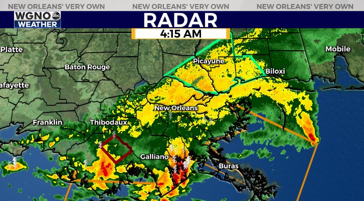
It’s now been raining in some spots for 12 HOURS! Flash Flood Warning continues until 6AM for Terrebonne Parish. Areal Flood Advisory for St Tammany & south Mississippi until 7:15AM.
Talking details on WGNO all morning! Here’s the breakdown:
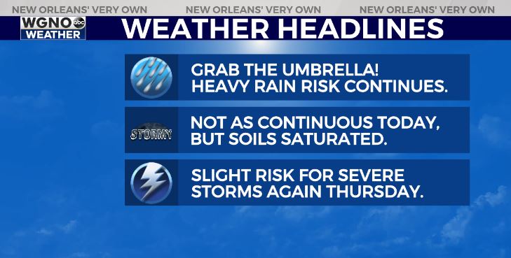
Today, expecting the heavy rain risk to continue. However, the rain doesn’t appear to be as non-stop and continuous as Tuesday. With soils being saturated, any additional rain could exacerbate flash flooding issues.
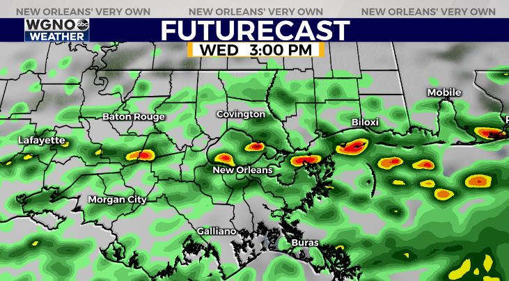
Scattered hit/miss heavy downpours expected throughout the day as the stationary boundary gradually lifts northward.
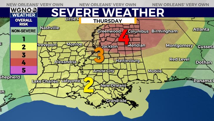
Thursday, the greatest severe risk looks to remain to our north. A Moderate Risk(Level 4 out of 5) for severe storms for north Mississippi/Alabama.
A Slight Risk(Level 2 out of 5) for severe storms in southeast Louisiana. Main risk of gusty winds & isolated tornado risk. Timing for SE Louisiana from 10AM-3PM Thursday.


