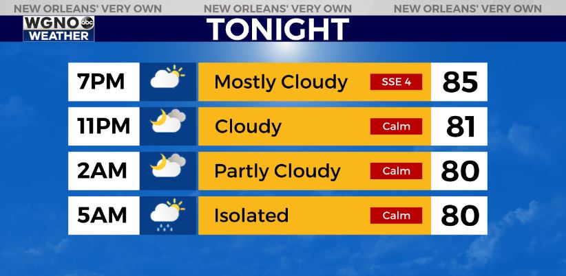
Showers and storms will continue to dissipate inland overnight as the daytime heating leaves. That activity will shift offshore and along the coast by early Friday morning with spotty showers around those areas.

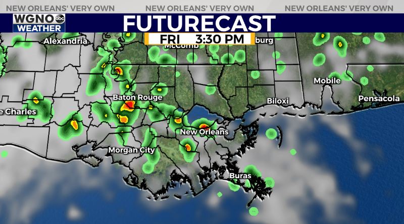
Friday looks a lot like the past few days with the summer showers and storms developing by mid to late morning into the afternoon as temperatures warm into the upper 80s and low 90s. Rain coverage will be a bit higher Friday than the past couple of days.
This pattern will continue through the weekend with daytime highs in the low 90s and spotty showers and storms each day. Rain chances will stay around 50-60%.

After that it looks like a more unsettled pattern moves back in by early next week so more widespread rain will be developing by Monday.


