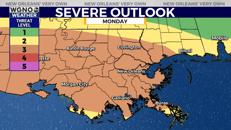
NEW ORLEANS (WGNO) — The first round of strong storms has moved east of the area Monday morning and we will be waiting on the second one later in the day. It is currently developing out west in Texas. The latest models have shifted a little more south for the track of this system and that means the south shore will have a better chance of severe weather and locally heavy rain. For the afternoon scattered showers and storms may continue to pop up through the day. Most of these will be fairly spotty in nature.

The level 3 severe risk has been shifted south to correspond with the shift in the track of that next storm cluster. As always have a way to get warnings in case they are issued for your area.
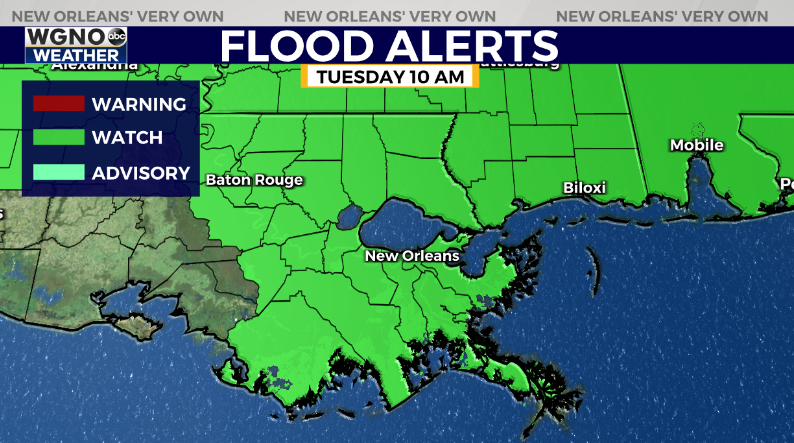
This system will also have a chance to produce locally heavy rain. While not likely on a widespread basis the chance for flash flooding is there as it moves through. Because of that a flood watch is in effect until Tuesday morning.

After tonight things quiet down through the middle of the week. Look for highs around 90 Tuesday and Wednesday.
Stay up to date with the latest news, weather and sports by downloading the WGNO app on the Apple or Google Play stores and by subscribing to the WGNO newsletter.


