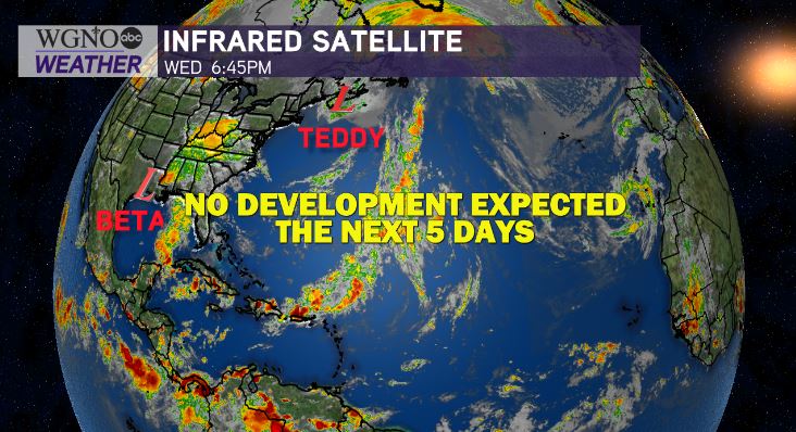
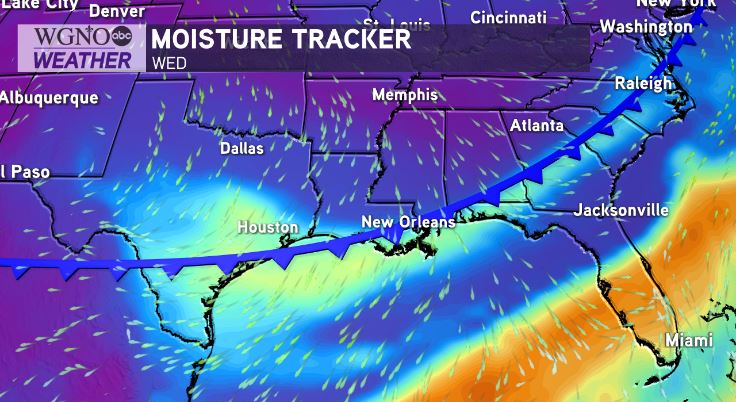
Coastal flooding plus scattered rainfall will be the themed impacts even with Beta now downgraded, moving inland in Louisiana as a remnant low pressure system. Good news to report! Once Beta is out of here, the National Hurricane Center does not anticipate any other tropical systems to develop over these next five days!

Coastal Flood Warnings remain in effect until noon Thursday, with Coastal Flood Advisories effective through early Thursday afternoon, too.
Increased coastal tides between 1-4 feet and more intermittent periods of heavy rainfall stay likely across south Louisiana Thursday.
The combination on strong easterly winds and a prolonged event duration has been responsible for widespread flooding in areas like Madisonville and LaPlace. Winds have shifted direction and calmed down considerably tonight as compared to earlier, which should help with standing water subsiding.
We will be watching for heavy batches of rainfall “training” or stalling over Louisiana early Thursday with such a slow moving system. The greatest risk for localized heavy rainfall is still in coastal south Louisiana.
In metro New Orleans, near the I-10 corridor, gloomy conditions persist with moderate rain expected and periods of heavier rain possible. 0.5-1.5” totals are likely with localized higher amounts also possible.
A tornado watch has expired from McComb, Mississippi to Baton Rouge, Louisiana and areas northwest as Beta’s outer bands continue moving inland.
So, when does the sunshine return? This weekend, we finally start to see rain chances go down, but temperatures will come up again to nearly ninety degrees.

Our next cold front pushes through next week. This is when more fall-like air should be behind the system, sticking around a while longer. Only fitting, as we welcomed the season officially Tuesday morning at 8:31AM!


