
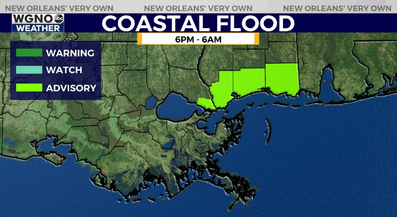
Temperatures will stay warm tonight with the humidity increasing and a southeasterly flow. We have there is actually a coastal flood advisory along the MS coast tonight and eastern St. Tammany due to that onshore flow. This could create minor flooding in the real low lying areas.
Otherwise temperatures will only drop into the mid 60s. Patchy fog will be possible especially near the coastal and marine areas.
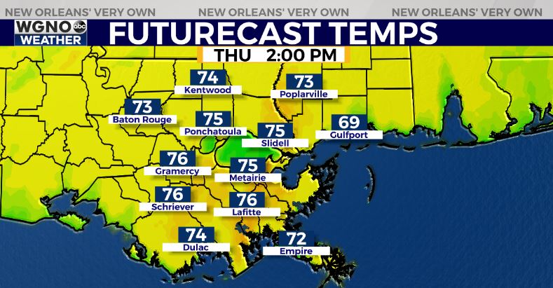
The main story of the week is still a cold front moving in on Thursday evening and night. We will see very warm and windy conditions ahead of the front with mid to upper 70s.
Look for a line of storms later in the afternoon through the evening moving across the area.
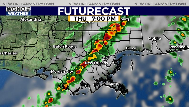
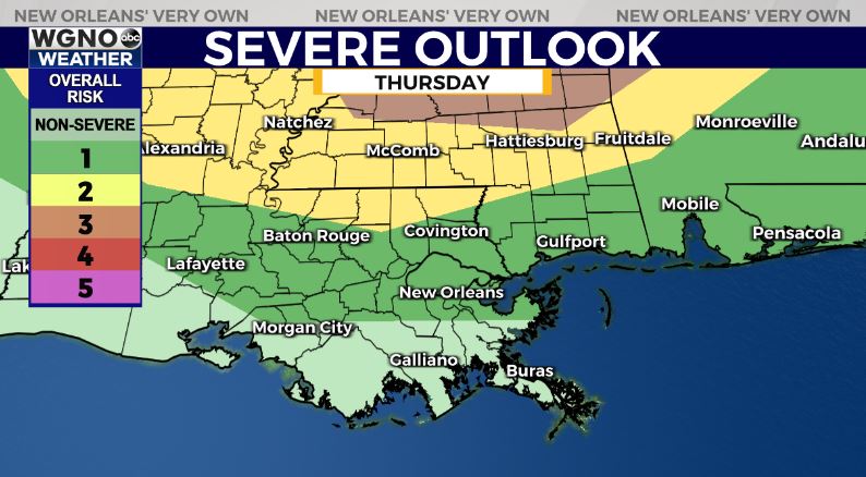
There is a chance some of these storms could be strong to severe and the Storm Prediction Center does have a low end risk outlook for the northern areas.
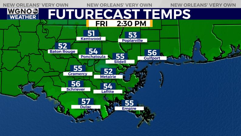
After that we will see much cooler weather on Friday so the parades will be on the chilly side.
The good news is it will be dry through the weekend and overall pleasant Saturday and Sunday.


