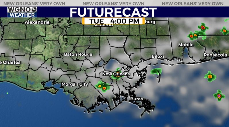
Showers and storms look isolated on Tuesday which means not much relief from the heat. As we typically see the best chance will be along the I-10 corridor with a few daytime heating storms near the New Orleans area. Otherwise though very spotty elsewhere. That trend will continue on Wednesday as well. By Thursday rain chances go back up a little for the end of the week.
We are settling in to a very standard late July pattern through the week. Temperatures will not be as hot as June but we will also not see as much rain as the first half of the month. Look for more heat to build in especially for northern and western areas as we go through the week.
Tuesday will see temperatures top out at 91-93 on the south shore with 93-95 for the highs up to the north. A heat advisory is in effect for Tuesday for the northern half of the area. This indicates heat index values of 108 and above. However a lot of the area will probably stay just below those numbers.


