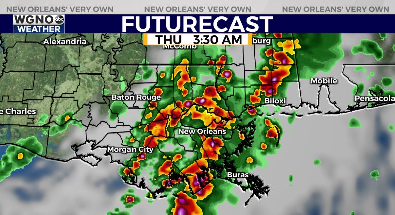
Rain is tapering off across most of the area Wednesday evening which will allow high water to run off. However another round of rain and storms is on the way later tonight and early Thursday. This round will once again have the chance for locally heavy downpours and an isolated severe storm. The potential for more street flooding will persist until the rain ends mid morning Thursday.

Have a way to get warnings overnight if they are issued for your area. A flash flood watch is in effect for the entire area through 10 AM Thursday.
After that we finally dry out and see lower humidity move in for the end of the week. Look for plenty of sun with highs back in the upper 80s through Sunday. There could be a passing shower or two on Memorial Day but nothing significant at this time.


