
After record-setting heat across the area through most of the week, the pattern has changed as we head into the weekend.
High pressure that was parked over the area creating sinking air and clear skies has shifted to the east.
That has allowed moisture from the Gulf of Mexico to flow back into the area.
Along with that, a trough of low pressure to the west is moving east. That will also add to the unsettled nature of the atmosphere over the next few days.
It’s going to be more like what we saw in late August with daytime heating activity developing each day in the early to mid afternoon time frame.
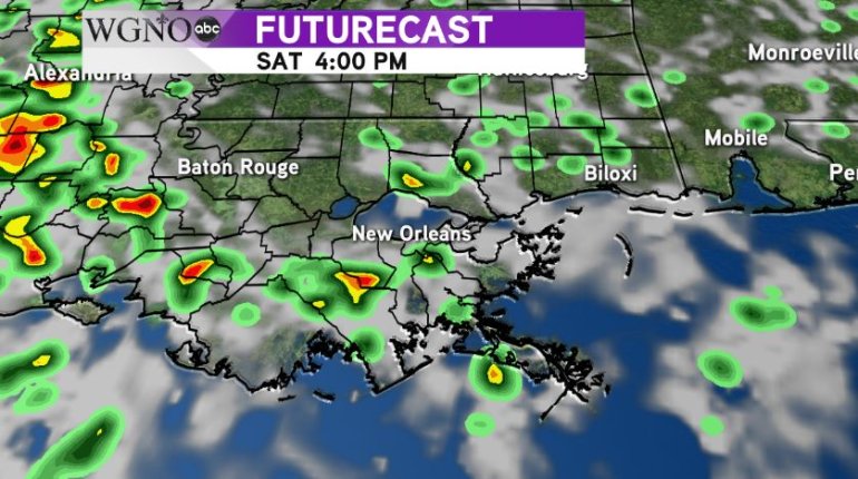
This forecast model shows the activity around the area, or the forecast of it, by mid afternoon.
Keep in mind not all of the area will see rain everyday. It’s going not going to rain all day. But numerous showers and storms will be popping up.
The main issue with this activity will be locally heavy rainfall. Storms could produce heavy rain amounts in a short amount of time that lead to isolated street flooding.
Any rain Friday afternoon should be ending in time for Friday Night Football.


