NEW ORLEANS (WGNO) — Storms are already moving through the state Friday morning and this will be a fast moving system through the day. Temperatures will stay in the upper 60s to low 70s through early afternoon before falling late afternoon and evening.
This system will not be as strong as the one earlier in the week, but we will still see rain and storms move through. This will be more of a broken line. Isolated severe storms are possible, mainly in the northern areas. The threat is low but will still need to be watched.

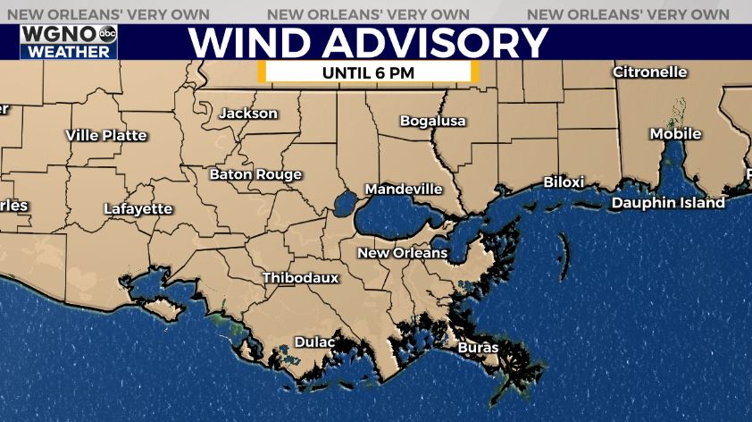
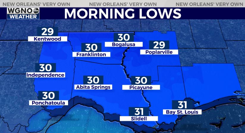
The SPC does have a level 2 threat for northern areas on Friday. Windy conditions will also move in with this system so we have a wind advisory in effect for most of Friday. Overnight lows will be chilly as we drop into the low 30s to the north with mid to upper 30s to the south Saturday morning.

After that look for cooler and drier weather over the weekend with highs in the 50s Saturday and 60s Saturday. The big story remains the arctic air coming in for the middle of next week. Right now Wednesday morning looks like the coldest with teens and 20s across the area.
Stay up to date with the latest news, weather and sports by downloading the WGNO app on the Apple or Google Play stores and by subscribing to the WGNO newsletter.


