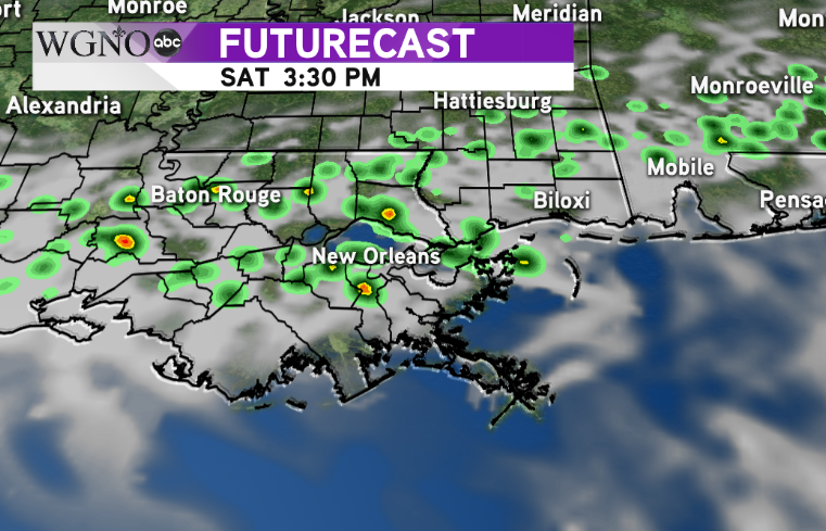
A cold front from the west will be moving into the area through the weekend and then stall over the northern parts of the area. We’re going to be seeing waves of rain chances along this front over the next couple of days.
There’s not an immediate temperature drop with this front, so we will stay warm over the next couple days.
For Friday, the best chance of rain will be along and north of I-12 with spotty activity to the south. A big batch of rain through the morning will move out with more scattered showers through the afternoon.
On Saturday the front sinks a little bit to the south. The forecast model indicates the central part of the area with scattered showers through the afternoon.  The model is indicating scattered showers as opposed to a large mass of rain. So keep in mind there will be breaks in the rain tomorrow. Also, it won’t be raining all day.
However if you are headed to events like the Irish Channel parade, you should take rain gear with you.
But Sunday the main focus of rain moves back north and closer to the MS border through the afternoon and evening.


