This week, we remain in a pretty active forecast pattern as temperatures stay cooler with higher rain chances.
A low pressure system west brings rain chances as our next front pushes east through mid-week.
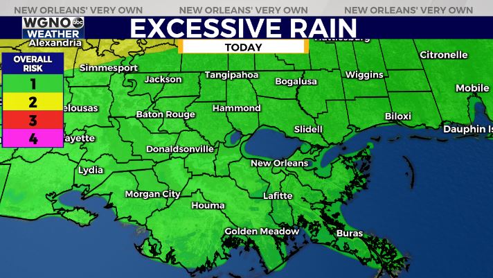
Any storms that develop could still produce locally heavy rainfall amounts and gusty winds. Localized flooding potential will be the theme Monday through Wednesday, so have your notifications on.

The Weather Prediction Center is issuing a level 1/4 Marginal Risk for Excessive Rainfall. Rain chances stay around for the second half of the week. That will keep afternoon temperatures cooler as well.

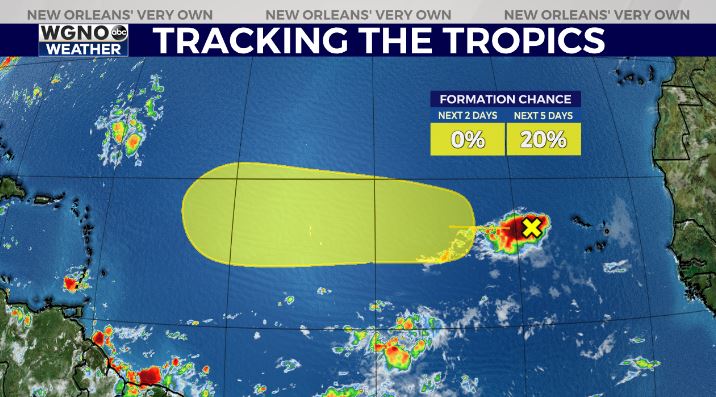
In the tropics we are watching an area of potential development off of Africa’s coast over the next few days. Chances are low, so we’ll keep an eye on this all week.


