NEW ORLEANS (WGNO) — The quiet weather we have seen over the past couple of days will be on the way out through the rest of the week as chances for rain and storms move back in. This will be a pattern similar to the past couple of weeks where storm clusters develop to our west and then move east through our area or just to the north.
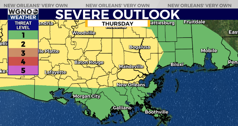
As always in this pattern details are a little sketchy more than a day or even half day out. However right now it looks like two main areas of storms will move through. The first storm cluster will likely push through late Thursday into early Friday morning.

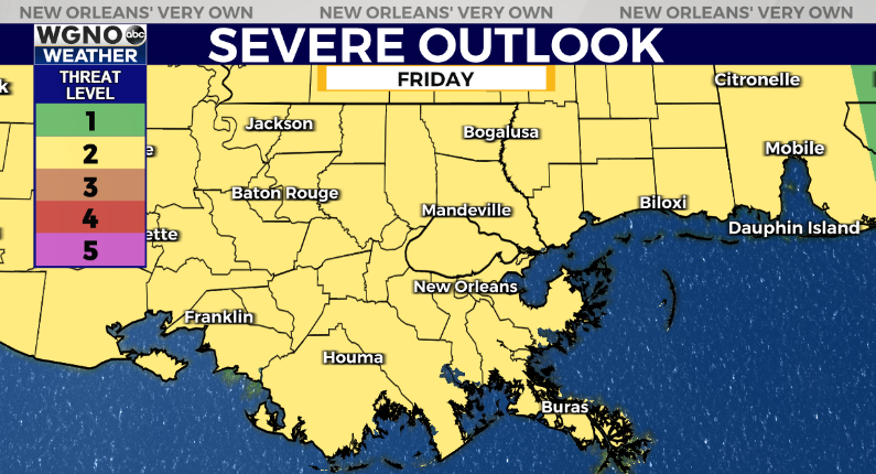
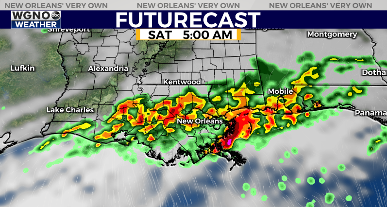
The second round of storms looks to be later Friday into Friday night. Some of that rain may linger into the first part of the day on Saturday behind the initial wave.

East of these storm clusters comes with a severe weather threat. Strong wind gusts will be possible along the leading edge along with hail and an isolated tornado. Locally heavy rain will be possible as well and we have a flood watch in effect starting Thursday evening for the northwestern part of the area.

Expect hot and dry weather to come back over the second half of the weekend.
Stay up to date with the latest news, weather and sports by downloading the WGNO app on the Apple or Google Play stores and by subscribing to the WGNO newsletter.


