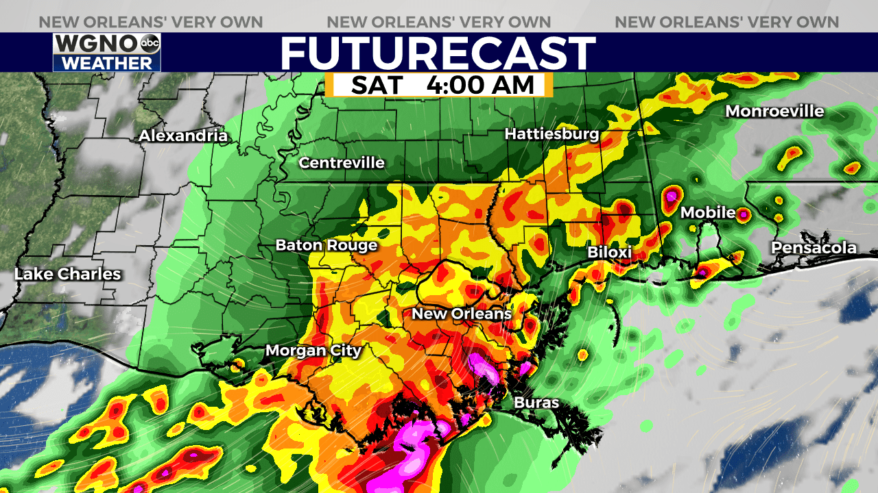
NEW ORLEANS (WGNO) — Another round of strong to severe storms can be expected across the northern Gulf Coast late Friday night through Saturday morning.
According to the latest forecast models, the New Orleans area could see strong storms and periods of heavy rainfall arriving after 1 a.m. Saturday.

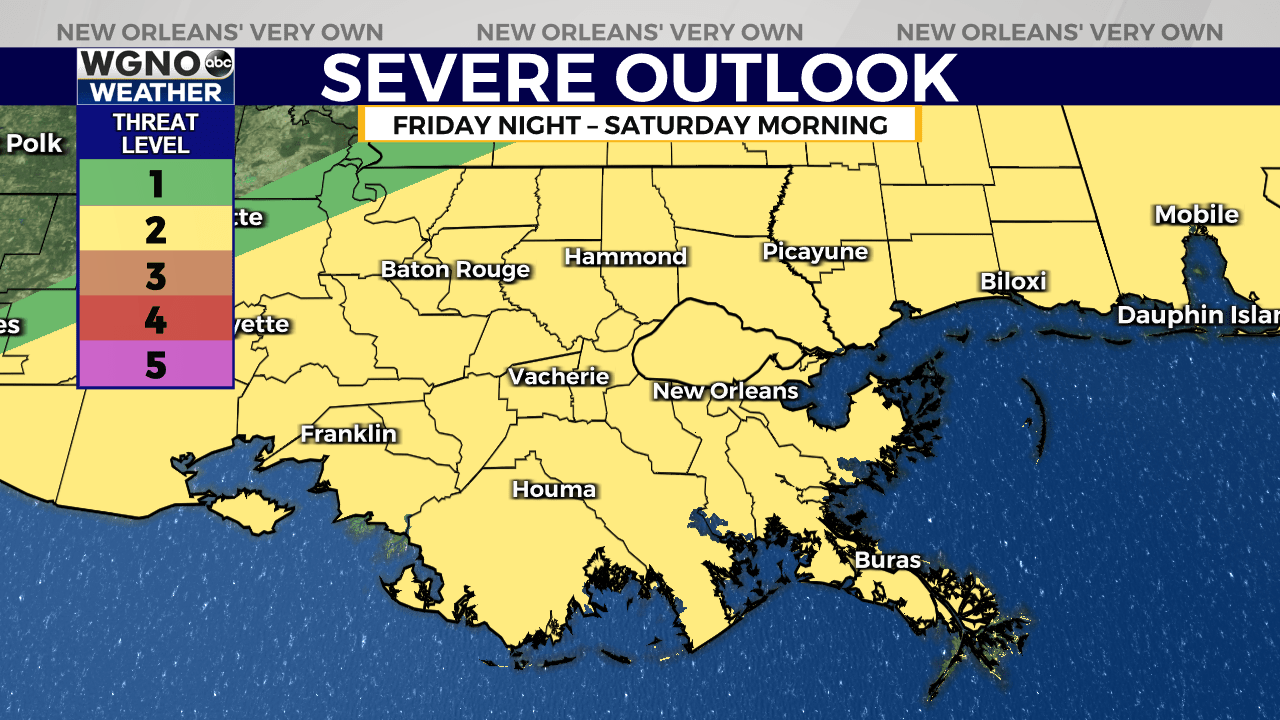
The Storm Prediction Center has outlined all of South Louisiana and South Mississippi under a “Slight Risk” for severe storms, which is threat level 2 out of 5 on their scale.
Damaging wind gusts will be the primary concern, along with the potential for large hail and an isolated tornado or two.

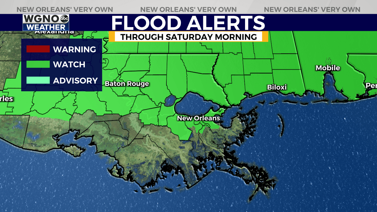
Flooding is also a concern through Saturday morning. Most areas have already received 1.5 to 3 inches of rain over the past 24 hours and another 1 to 2 inches of rainfall can be expected. A Flood Watch is in effect through 7 a.m. Saturday.

Although some isolated showers may linger until the middle of the day Saturday, the main systems driving the severe weather will move eastward by early Saturday afternoon, reducing the threat of heavy rain and storms. Then, skies will clear fairly quickly by the evening.
By early next week, high pressure will dominate, keeping the region mostly rain-free as temperatures climb to the low 90s.
Stay up to date with the latest news, weather and sports by downloading the WGNO app on the Apple or Google Play stores and by subscribing to the WGNO newsletter.


