Severe Thunderstorms moving through parts of Southeast Louisiana and South Mississippi. Severe Thunderstorm Watch continues through 8 p.m. for the Northshore into South Mississippi.
The good news? Heaviest rain ends by 8 p.m. across the area.

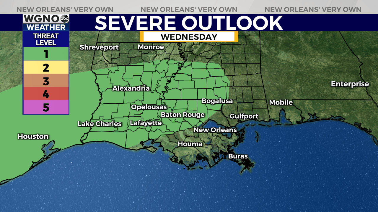
Tomorrow, model guidance is again suggesting that the worst of the weather stays to our northwest. However, as we saw today, that’s not a guarantee. A few strong to severe storms will again be possible. Storm Prediction Center is highlighting a Marginal (Level 1 out of 5) risk for damaging winds, hail & isolated tornado risk.
By Thursday, we’ve got a better opportunity for rain as a decaying frontal boundary approaches. This feature looks to clear the area leading to a less stormy weekend with highs back in the lower 90s. Maybe a touch lower humidity for Saturday too!
Stay up to date with the latest news, weather and sports by downloading the WGNO app on the Apple or Google Play stores and by subscribing to the WGNO newsletter.


