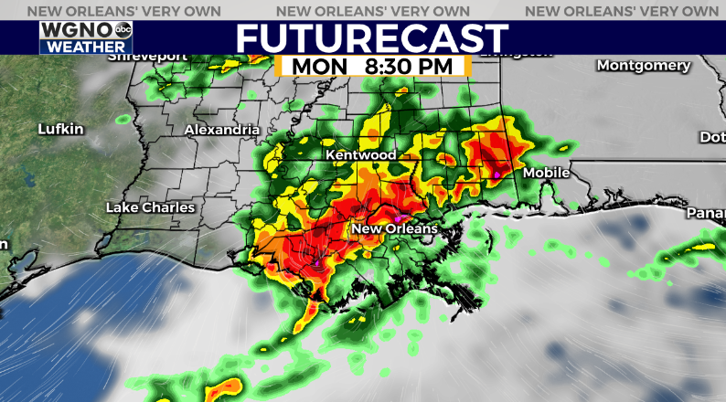
NEW ORLEANS (WGNO) — Two rounds of storms will move across the region to start the week with the second one being more impactful to our area. We will see the first round of storms stay mainly to out north through the morning. Expect some of the southern end of it to move across the Florida Parishes and southern Mississippi. Some gusty winds and heavy rain will be possible.
After that scattered showers and storms may continue to pop up through the day. Most of these will be fairly spotty in nature.

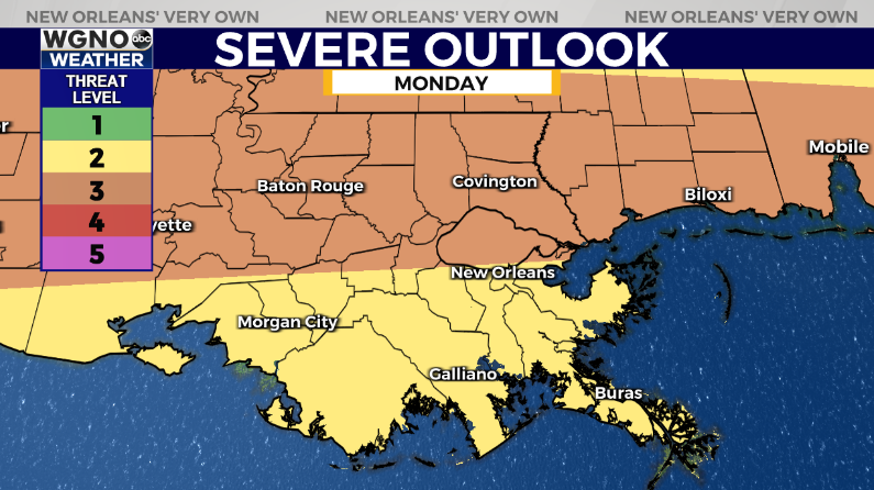
The second round of storms will move through this evening and tonight. This will be another large cluster of storms with the chance for strong wind gusts along the leading edge and potentially an isolated tornado. Because of that we have a level 3 severe weather outlook for the day.

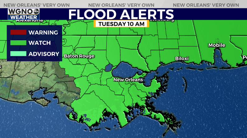
This system will also have a chance to produce locally heavy rain. While not likely on a widespread basis the chance for flash flooding is there as it moves through. Because of that a flood watch is in effect until Tuesday morning.

After tonight things quiet down through the middle of the week. Look for highs around 90 Tuesday and Wednesday.
Stay up to date with the latest news, weather and sports by downloading the WGNO app on the Apple or Google Play stores and by subscribing to the WGNO newsletter.


