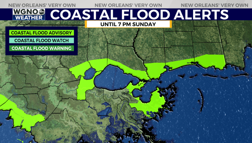
NEW ORLEANS (WGNO) — Strong onshore flow and wind will continue to end the weekend and once again we will see gusts in the 20s and 30s. This will continue to lead to higher than normal water levels along the coast. A coastal flood advisory is in effect until 7PM Sunday for the threat of high water outside the levee system. Look for high tide to be around 1-2 feet above normal.

Temperatures will top out in the mid 80s again Sunday with a few spotty showers possible. Anything that develops will be short-lived and move through quickly.
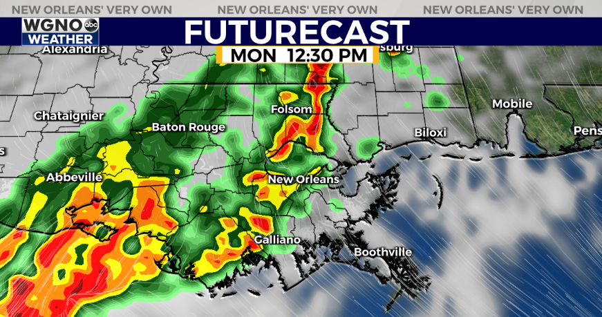
Rain comes back on Monday as an area of storms moves in. Right now it looks like we could see a strong cluster of storms that starts in the northern part of the state and moves through midday. There are still some questions in terms of where the heaviest activity goes.

There is a chance that we could see some stronger storms as that moves in. Again it will depend on where the heaviest storms go but there could be a threat of strong wind gusts.

The SPC has us in a low end severe threat for Monday as that system moves in. Expect scattered storms to develop again on Tuesday in a more isolated fashion. The rest of the week looks warm after that.
Stay up to date with the latest news, weather and sports by downloading the WGNO app on the Apple or Google Play stores and by subscribing to the WGNO newsletter.


