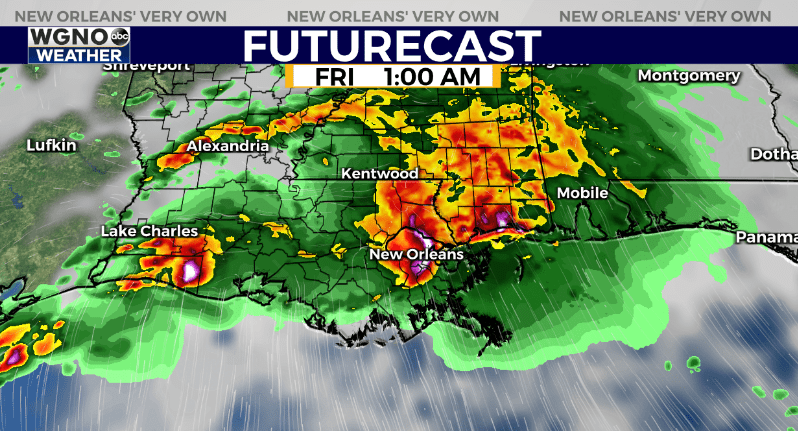
NEW ORLEANS (WGNO) — The first of several rounds of storms will be moving through later this evening and tonight.

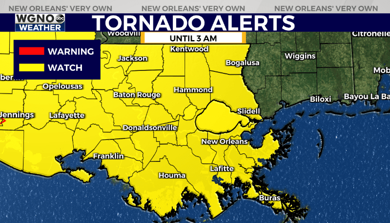
A tornado watch is in effect for southeast Louisiana until 3 AM. These storms could produce strong wind gusts and isolated tornadoes. Have a way to get woken up if warnings are issued for your area overnight.

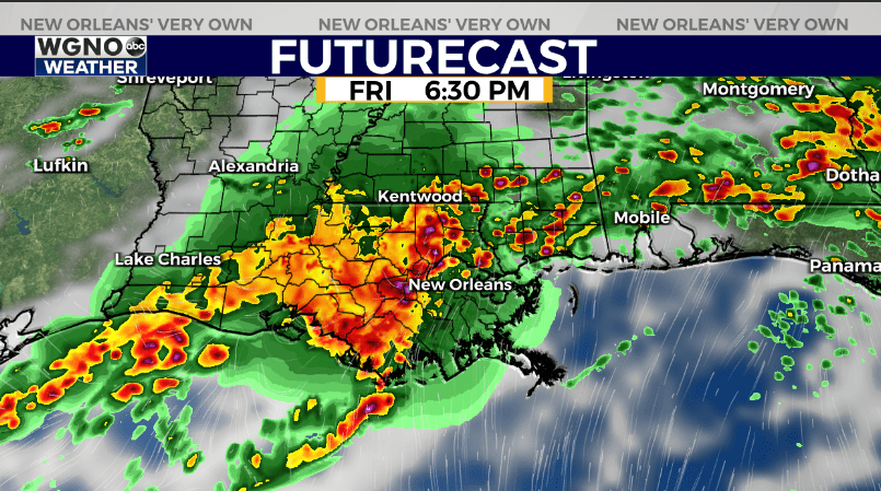
This will be a very active pattern. Each area of storms that moves through will have the chance to produce locally strong wind gusts and heavy rain. An isolated tornado will also be possible.

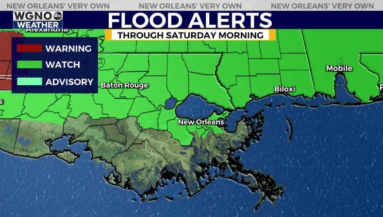
As always in this pattern details are a little sketchy more than a day or even half day out. At the moment the highest overall rainfall totals look like they will be north of I-10. 3-5 inches of rain will be possible through Saturday morning. South of I-10 likely a bit less in the 1-3 inch range.

We should see a break in the activity around midday Friday before the next round of storms moves in later in the afternoon. The whole pattern finally clears out on Saturday afternoon with hot and dry conditions returning by Sunday through much of next week.
Stay weather aware and have a way to get warnings if they are issued for your area.
Stay up to date with the latest news, weather and sports by downloading the WGNO app on the Apple or Google Play stores and by subscribing to the WGNO newsletter.


