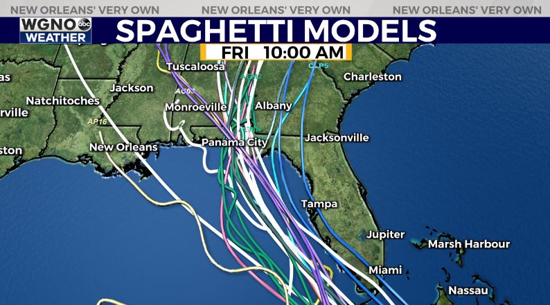
The latest update from the National Hurricane Center has nudged a bit to the west of the previous forecast track for Tropical Depression Fred. The center of the system has moved west over the past few hours and is not along the northern coast of Cuba.
According to the NHC an additional shift to the west is possible. In their latest discussion they say “The new track is east of the consensus models, especially from 24-60 h, and thus some additional adjustments could occur later today if the current model trends continue.” Forecast models have also moved a bit west along the Florida panhandle.

The system is looking very ragged Friday morning due to wind shear and land interaction. It’s unlikely to strengthen much over the next day or so as it remains along Cuba.
After that questions remain as to how much wind shear we will see in the Gulf and if the system is still holding together as it moves north. If so, the potential is there for Fred to strengthen and maybe even more than the current forecast shows.
Continue to monitor this through the weekend and stay with WGNO on air and online for the latest.


