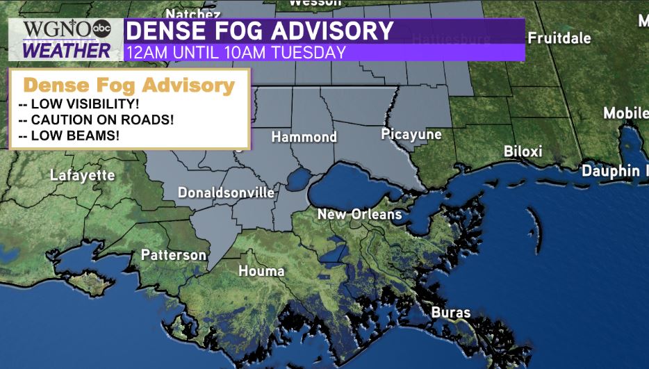
After a foggy start, sunshine returned as we were far warmer than average during late October. Anticipate an issued Dense Fog Advisory Tuesday morning until 10AM, especially across St. Tammany Parish and River Parishes.

Warmth remains the theme ahead. One word that sums up upcoming weather patterns until next week: LAYERS!
Humidity will be becoming more evident tomorrow. We do not anticipate an uptick in rain chances until Thursday as moisture increases.
Our next cold front times out about Saturday, but that real deal cold snap arrives just before Halloween.
Northshore residents will wake up tomorrow to lower 60s outside their windows while Southshore residents can expect upper 60s! This is sweater weather, but you’ll lose any jackets by afternoon after lunch, once highs climb near 85.
Remember, Hurricane Season 2020 does not end until November 30th. Even throughout mid-October, we continue watching yet another disturbance for formation potential.

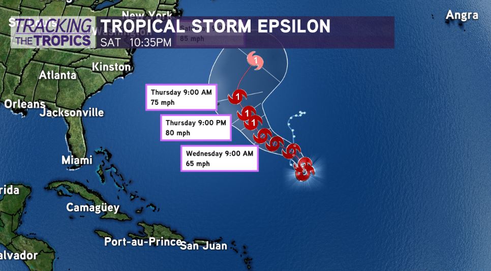
National Hurricane Center meteorologists give one LOW, 20 percent chances of development over five days, but Tropical Storm Epsilon (on track for Bermuda) should intensify in forty-eight hours, making landfall as a Category 1.
Right now, no local threats across our area are expected!


