It was another seasonal day today across southeast Louisiana and New Orleans proper after Saturday’s trough cleared our area, ending storms! Nonetheless, look at that 24 hour temperature change below 10 degrees nearly everywhere! A much stronger front comes to town in time for Christmas Day!

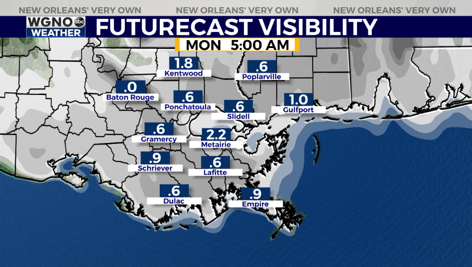
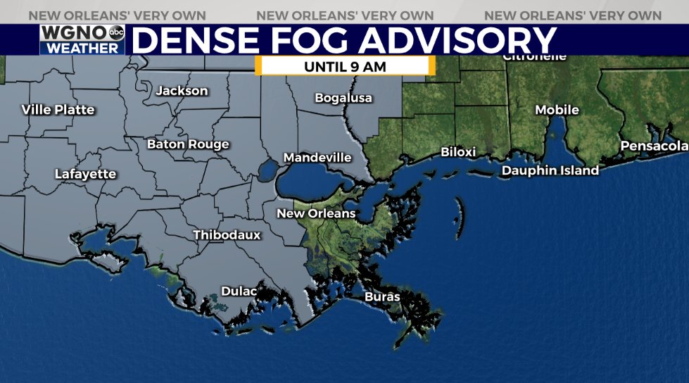
Anticipate clearing tonight to early tomorrow morning until dense fog returns! Low beams will be best if heading out early!

Many portions of WGNO’s viewing area are included, so sound that alarm early if your parish is shaded gray! This is going to remain in effect until 9 a.m.
We can watch one phenomenon on Monday that has not occurred in 800 years: The ‘Christmas Star’ will be visible!
December 21 marks an annual Winter Solstice: shortest day, longest night of 2020, plus something so much less common known as a conjunction.
This is what happens when any two planets, Jupiter and Saturn here, appear close together from Earth, much like what happened during Christmas Eve evening before Jesus’ birth.

Viewing opportunities will be best right around 6:40 p.m. locally, shortly beyond sunset. Fortunately, our forecast for it looks ideal tomorrow!
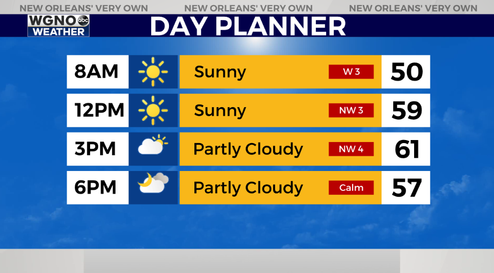
Conditions remain clear as temperatures approach upper 40s – lower 50s at that point area-wide.
Sunshine will be the theme until increasing clouds return Tuesday.
Another low pressure system arrives Wednesday evening, so at that point, shower chances return.

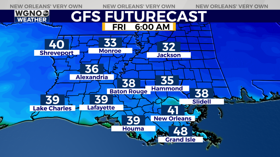
Christmas morning, anticipate a chilly start with 30-40 degree low temperatures north and south of Lake Pontchartrain. Highs by everyone’s afternoon after lunch should reach just above 50!
Keep up, updates stay available during WGNO’s 10:00 P.M. newscast plus online on WGNO.com!
Check out current conditions near you: https://digital-staging.wgno.com/weather/new-orleans-weather-radar/
Stay up to date with the latest forecast: digital-staging.wgno.com/weather/forecast/
Download the WGNO Weather App to stay connected this hurricane season


